Sea Level at East Bay
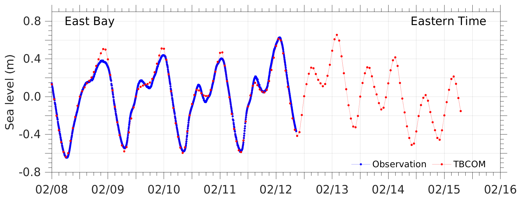
The plot shows the comparison of TBCOM simulated (red) and tide gauge observed (blue line with dots) water level time series. The near-real-time water level data at East Bay are downloaded from NOAA Tides & Currents website (Station 8726674). This comparison is also shown as a movie.
Go back to water level projection home page or view model/data comparison at the other tide gauge stations along the Tampa Bay region:
Disclaimer: The analyses/data are research products under development. No warranty is made, expressed or implied, regarding accuracy, or regarding the suitability for any particular application. All rights reserved: University of South Florida, College of Marine Science - Ocean Circulation Lab. Copyright, 2023.